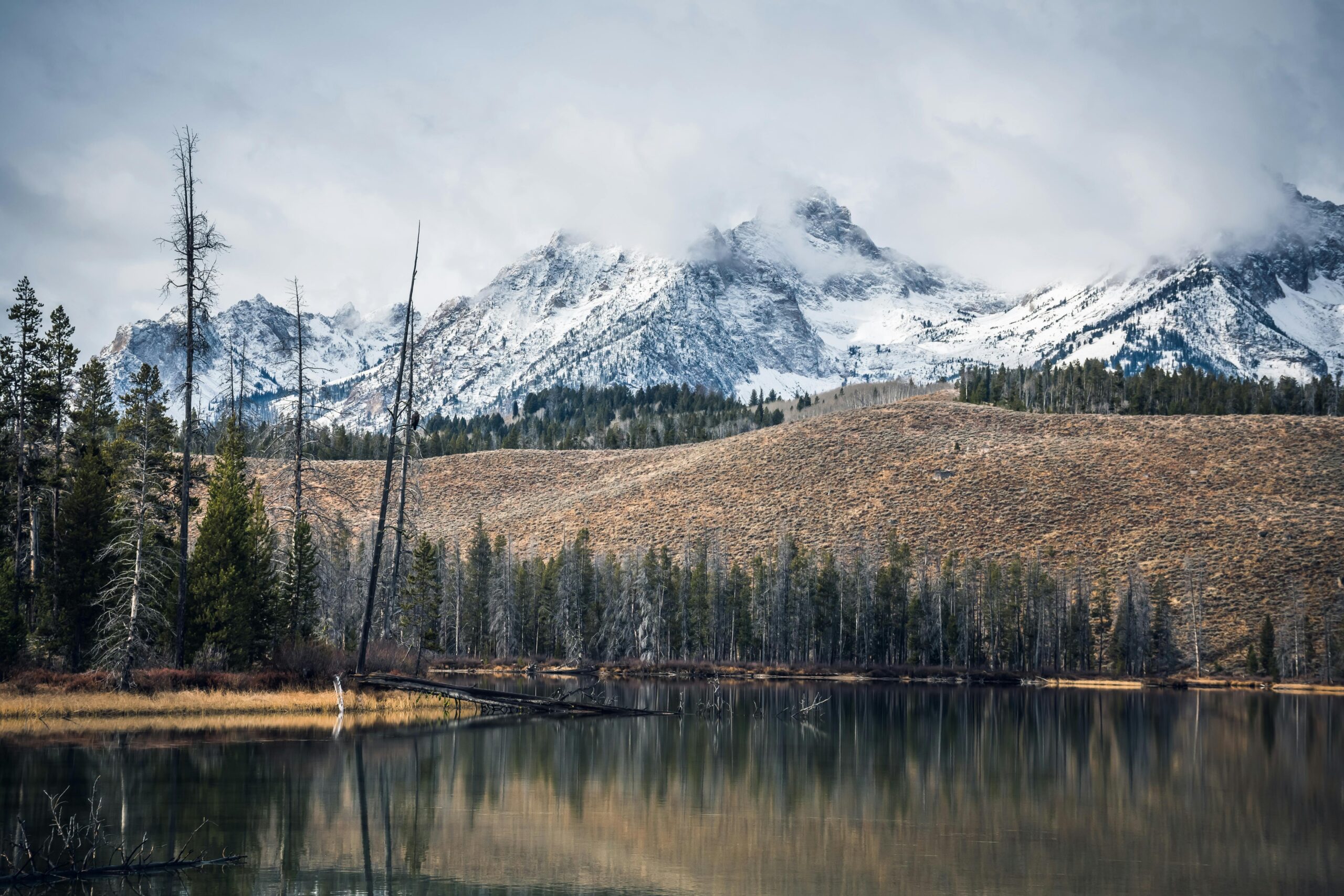
If you live anywhere near the Great Lakes, you know the feeling. The rest of the country might be enjoying a mild autumn day or a crisp, sunny winter afternoon, but you are watching the sky with a sense of deep suspicion. The forecast is not just for snow; it is for a specific, almost legendary kind of snow. Your phone buzzes with an alert, one that commands immediate attention: a Lake Effect Snow Warning.
This is not your ordinary winter weather advisory. It is a signal that nature is about to unleash one of its most localized and intense meteorological phenomena. For those in its path, it means business. For the curious, it is a stunning demonstration of the power of geography and atmosphere working in concert. Let us pull back the curtain on this dramatic weather event, understanding what it is, why it happens, and, most importantly, how to stay safe when one is issued.
The Perfect Recipe for a Snow Squall
To understand a Lake Effect Snow Warning, you first have to appreciate the “lake effect” itself. Imagine a giant, natural snow machine. This machine requires a very specific recipe to operate at peak efficiency.
The key ingredient is, of course, the lake. The Great Lakes, in particular, are immense reservoirs of relative warmth as the seasons change. When a blast of frigid, Arctic air sweeps down from Canada in late fall or winter, it passes over this much warmer lake water. The lake acts like a giant steamer, transferring massive amounts of moisture and warmth into the cold air mass above it.
This process, called “evaporation,” fuels the entire system. The cold air, now laden with moisture and destabilized by the heat from the water, begins to rise rapidly. As it rises, it cools again, causing the moisture to condense into thick, convective clouds. These are not the gentle, blanket like clouds of a widespread winter storm. They are turbulent, vertical clouds that organize into narrow bands, capable of producing incredible snowfall rates.
The direction of the wind is the final, crucial part of the recipe. It determines exactly where this snow band will set up shop and unleash its fury. A steady, consistent wind blowing the entire length of the lake, known as the “fetch,” allows the air to pick up even more moisture, leading to more intense snow. These bands can be astonishingly narrow, sometimes only a few miles wide, creating a stark dividing line between a full blown whiteout and partly cloudy skies.
Decoding the Alert: Watch vs. Warning
The National Weather Service has a very specific vocabulary for severe weather, and it is vital to know the difference.
A Lake Effect Snow Watch is your heads up. It means that conditions are favorable for significant lake effect snow to develop in the next 12 to 48 hours. It is the time to start paying close attention, to check your supplies, and to think about altering any upcoming travel plans.
A Lake Effect Snow Warning, however, is the main event. This means that heavy, lake effect snow is imminent or already occurring. The criteria for a warning are strict and vary slightly by region, but they generally mean that you can expect at least 6 to 7 inches of snow within a 12 hour period, or 8 to 9 inches within 24 hours. More importantly, these alerts often come with the promise of extreme conditions within the snow band: visibilities dropping to zero in intense snow squalls, snowfall rates of 2, 3, or even 5 inches per hour, and rapid accumulations that can paralyze travel in a matter of minutes.
When you see a warning, it is no longer time to prepare; it is time to act.
Life in the Snowbelt: More Than Just a Nuisance
For communities nestled in the “snowbelt” regions downwind of the Great Lakes, lake effect snow is a defining part of life. Towns like Syracuse, New York, or South Bend, Indiana, are famous for their prodigious seasonal snow totals, the vast majority of which comes from lake effect events.
This snow is not the light, fluffy powder of picture postcards. It can be dense, heavy, and wet, especially early in the season, placing immense strain on roofs and making shoveling a Herculean task. The intensity of the snowfalls creates unique challenges. A morning commute can begin under clear skies, only to become impossible by the afternoon as a snow band locks in. Conversely, a neighborhood buried under two feet of snow might be just a five minute drive from another with only a dusting.
This hyper locality breeds a unique form of community resilience and humor. Neighbors help dig each other out, schools have built in “snow days” that other districts would never dream of, and everyone develops a keen eye for the sky and a sophisticated understanding of wind direction. The local forecast is not just background noise; it is essential intelligence for daily life.
Beyond the Great Lakes: A Global Phenomenon
While the Great Lakes of North America are the world’s most famous lake effect snow factories, they are not the only ones. Any large body of water that remains unfrozen while cold air passes over it can produce the phenomenon.
The Great Salt Lake in Utah contributes to significant snowfall in the Wasatch Mountains, a boon for ski resorts but a hazard for the cities nestled at the base of the mountains. In Japan, cold, dry air from Siberia blows across the relatively warm Sea of Japan, dumping incredible amounts of snow on the western slopes of the country’s mountain ranges, creating some of the snowiest places on Earth. Even smaller bodies of water, like the Finger Lakes in New York or certain bays along the East Coast, can generate localized lake effect snow under the right conditions.
This global presence underscores that lake effect snow is a fundamental physical process, a powerful reminder of how land, water, and air interact to create our planet’s diverse and sometimes extreme weather.
Heeding the Warning: Your Action Plan for Safety
When a Lake Effect Snow Warning is issued for your area, treating it with the seriousness it deserves is paramount. Here is a practical guide to navigating the event safely.
Before the Snow Begins:
Fuel Up: Keep your vehicle’s gas tank at least half full. Not only does this prevent fuel line freeze ups, but it also ensures you have a source of heat and power if you become stranded.
Stock Your Home: Assume you will be unable to travel for at least 24 to 48 hours. Have a supply of non perishable food, water, medications, and any pet supplies you may need. Do not forget batteries for flashlights and a radio.
Prepare Your Vehicle: Ensure your winter emergency kit is in your car. This should include a blanket, extra warm clothing, a shovel, a flashlight, some snacks, and a cell phone charger.
Adjust Plans: Postpone non essential travel. If you must travel, inform someone of your route and expected arrival time.
During the Snow Event:
Stay Indoors: This is the single most effective way to stay safe. Avoid all unnecessary travel. Conditions can deteriorate faster than you can react.
If You Must Drive: Drive with extreme caution, but the best advice is to not drive at all. Lake effect snow squalls are notorious for causing massive, multi vehicle pileups as visibility instantly drops to zero and roads become a sheet of ice. If you are caught in a squall while driving, reduce your speed dramatically, turn on your hazard lights, and do not slam on your brakes. If you can safely exit the roadway, do so. Otherwise, focus on maintaining a safe distance and proceed with utmost caution until you exit the band.
Prevent Overexertion: Shoveling heavy, wet lake effect snow is a major cause of heart attacks in the winter. Take frequent breaks, push the snow instead of lifting it where possible, and stay hydrated. Do not be afraid to ask for help.
Stay Informed: Keep a battery powered weather radio or your phone handy for updates. Snow bands can shift, and the warning area may be updated. Knowing when the worst is expected to end helps you plan.
The Aftermath:
Clear Snow Safely: Continue to be mindful of physical exertion while clearing driveways and walkways. Be aware of the risk of roof collapses if accumulations are exceptionally high and, if safe to do so, use a long roof rake to lessen the load.
>Check on Neighbors: A quick check on elderly neighbors or those who may need assistance is a simple act of kindness that strengthens community bonds.
>Remain Cautious on Roads: Even after the snow stops, travel can be hazardous due to drifting snow, icy patches, and plows still working to clear the roads.
A Force of Nature to Be Respected
A Lake Effect Snow Warning is a testament to the raw, localized power of weather. It is a phenomenon that can both awe and intimidate, providing the snow that fuels winter sports and seasonal beauty while also posing a genuine threat to life and property.
By understanding the science behind it, respecting the official warnings, and taking proactive steps to prepare, we can coexist with this formidable force of nature. It is a part of the identity for those who live in the snowbelts, a challenging yet integral thread in the fabric of their communities. So the next time your phone buzzes with that alert, you will know what it truly means. You will see it not just as a forecast for snow, but as a signal that nature’s most efficient snow machine is roaring to life, and you will be ready.